Mapping and spatial data
Beginner level
Social learning
Openly-licenced materials
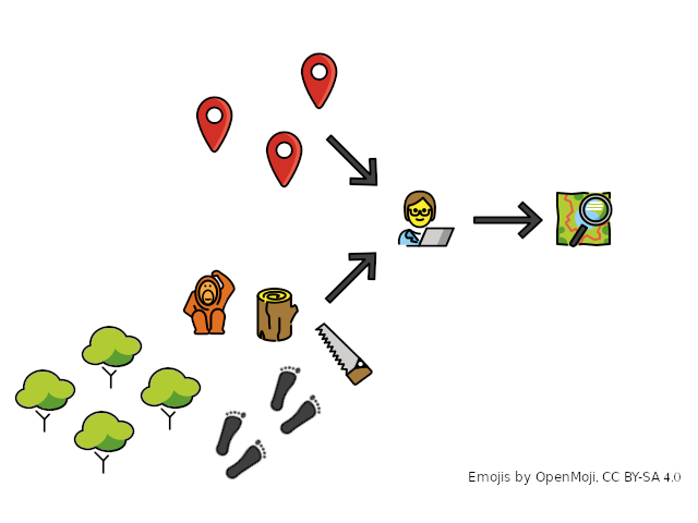
GIS for wildlife conservation
Beginner course, June-July 2021
Free
Mapping and spatial data
Beginner level
Social learning
Openly-licenced materials
Share
Description
Upcoming learning opportunities are listed on our Courses page, or you can join our mail-list to stay informed about future courses, events and resources
You can still access the learning materials for self-study
 What?
What?VerdantLearn is offering a free 4-week introductory course in GIS for wildlife conservation, suitable for complete beginners or to refresh your GIS skills. It’s an online course, offered in a flexible part-time format allowing you to choose when you study each week
The course is tutor-led and you will have the opportunity to form a learning circle with other participants. As well as gaining access to the learning materials, you can join our community to discuss your challenges and goals, and to request support
This course is VerdantLearn’s contribution to Open Education for a Better World 2021
 When?
When? Where?
 What does it cost?
This course is completely free to study! We ask you to participate fully & provide feedback at the end
 Deadline
The deadline to register is the day the course begins: 17:00 UTC, Monday 14 June 2021
 Is it for me?
Are you a wildlife conservation professional or student who wants to learn (or re-learn!) the fundamental knowledge and skills of GIS for conservation? Then yes, it’s for you!
The course is suitable for complete beginners, or those wanting to refresh their skills. You can be based anywhere in the world, and at any stage of your career
To participate, you need to:
 What will I get out of it?
By the end of the course, you will be able to:
 Software
You’ll use QGIS, a freely available, open-source GIS software
Exercises can also be done in ArcGIS, but instructions will only be provided for QGIS
 Mail list
If you would like to hear about future learning opportunities with VerdantLearn, join our mail-list
All emojis designed by OpenMoji - the open-source emoji and icon project. License: CC BY-SA 4.0